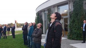
Hosted at the scenic location in the center of Potsdam, close to the river Havel, this 3rd GeoMonday turned out to be a really nice occasion for all drone enthusiasts. Our first outdoor hands on session was blessed with rays of sunlight from a Indian summer sun.
Thanks again to the interested audience and to all of our fantastic speakers.
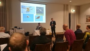
The session was kicked-off with the live data collection session using a smart drone, presented by Arno Fischer, professor at the University of Applied Sciences Brandenburg.
Here is the spectacular video from our session ground:
[slideshare id=53239265&doc=fhbgeomonday-2015-potsdam-150927082750-lva1-app6891]
Immediately afterwards Frank Neitzel, professor at the Technical University (TU) Berlin, told us how to build a drone from very affordable components and get the system working.
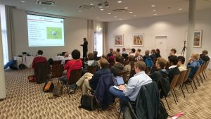
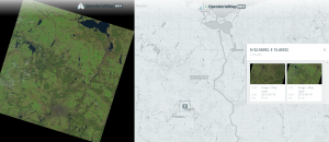
Our third speaker of the evening was Martin Scholl. In his presentation he gave insights of a project equal to OpenStreetMap, the OpenAerialMap in order to create aerial views of the world:
[slideshare id=52780124&doc=201509geomonday2-150915020313-lva1-app6892]
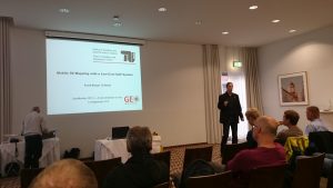
The closing session was held by Christian Janke, Research Engineer at the European Aviation Security
Center (EASC) in Germany. He spoke about the chances and challenges of unmanned aviation.
[slideshare id=53238892&doc=cjgeomonday140915short-150927080011-lva1-app6891]