Symposium at SRH University of Applied Science Berlin

Summary

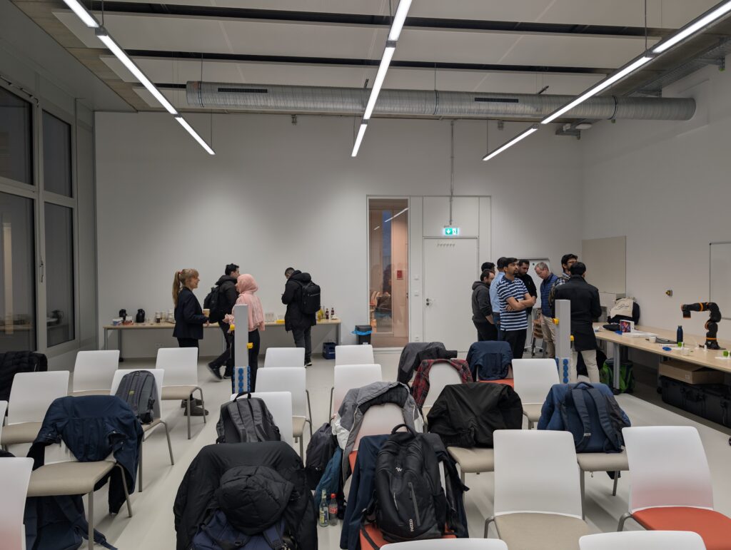
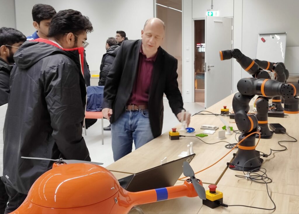
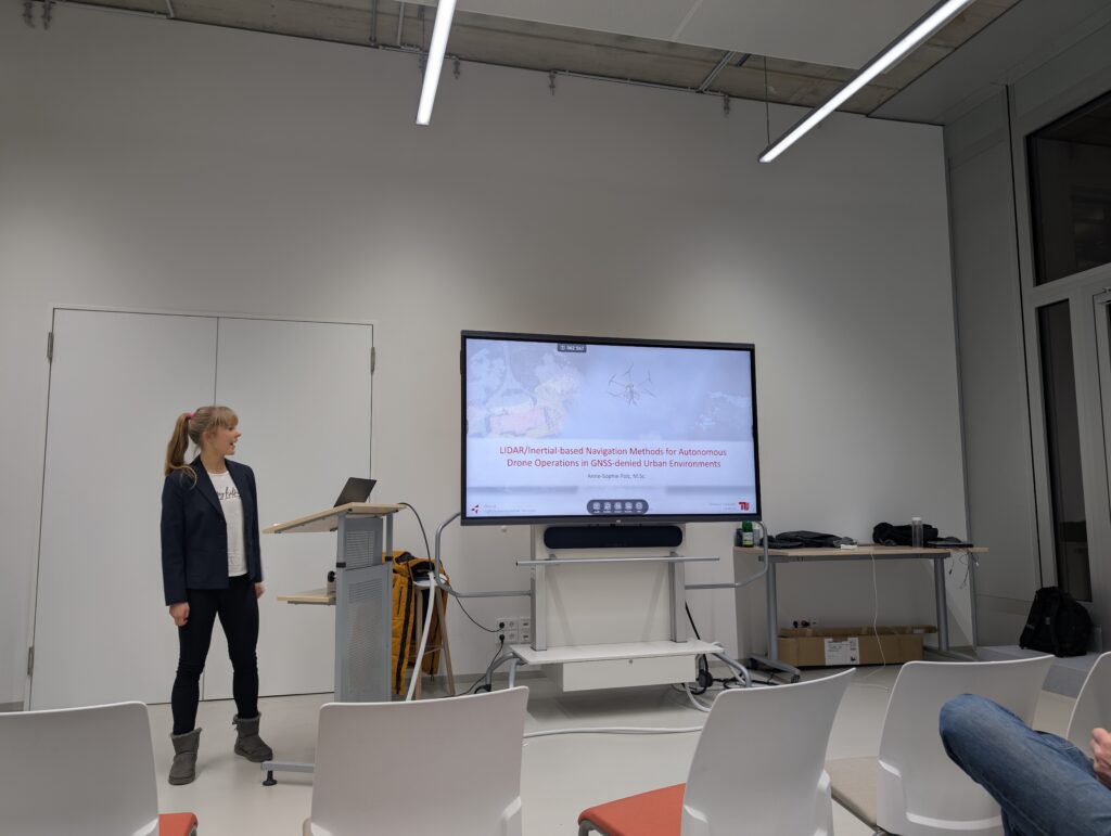
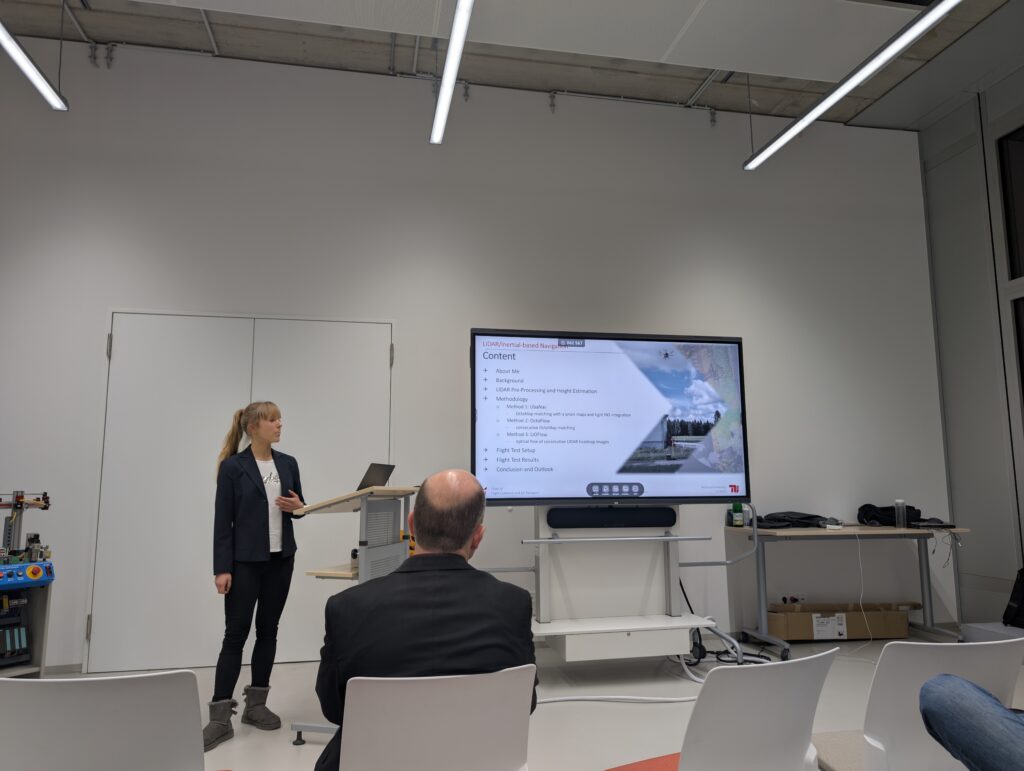
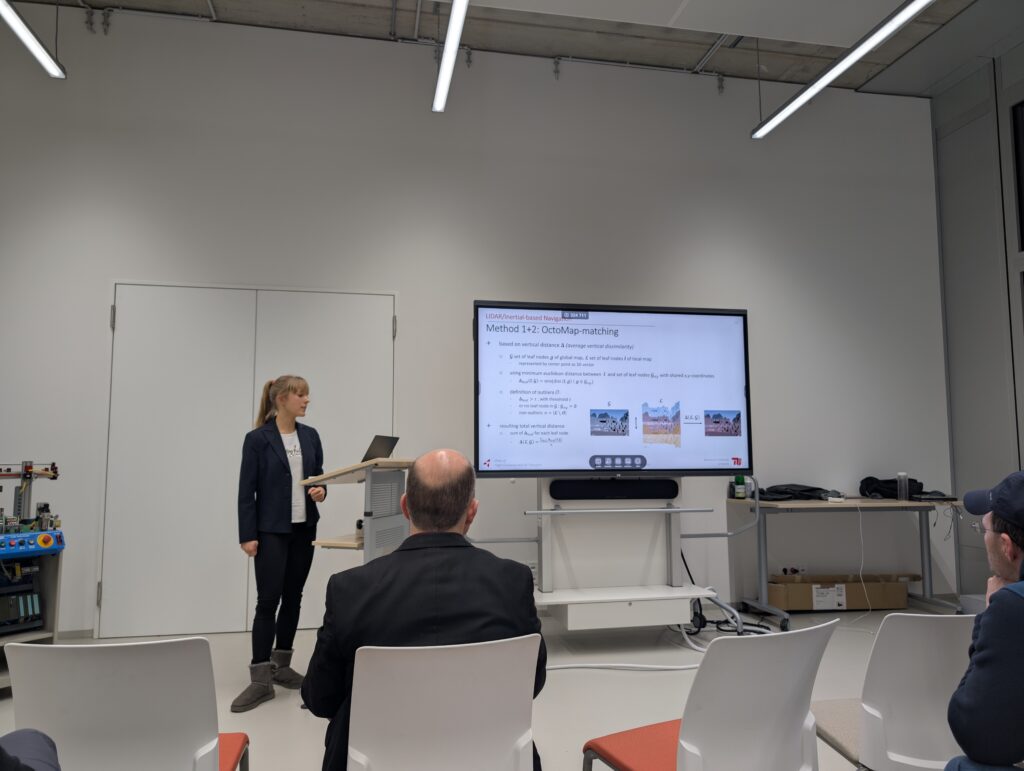
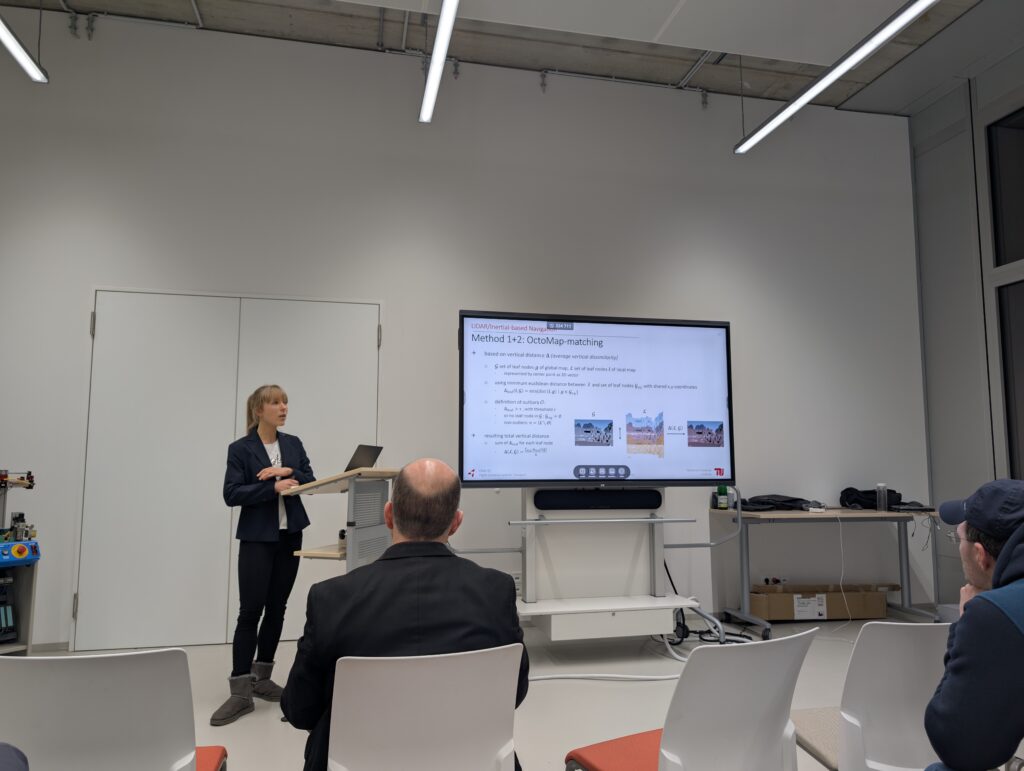
The GeoIT Association started this year with an exciting symposium at SRH University of Applied Sciences Berlin, welcoming many visitors, including students from various engineering programs and faculty members.

Our speakers shared valuable insights into modern topics such as: ROS, drone technology, positioning system and agriculture applications, enriching the discussions on the latest advancements in these fields.

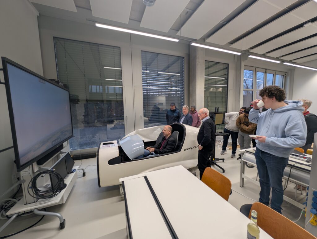
One of the highlights of the symposium was the presentation of a flight simulator, developed by Prof. Arno Fischer in collaboration with students. Visitors had the opportunity to test the simulator firsthand, experiencing its design and practical applications. This interactive demonstration was met with great enthusiasm.

The symposium concluded with a panel discussion, where participants exchanged ideas, shared their perspectives, and discussed potential future directions for research and innovation. This closing session fostered valuable conversations, highlighting the importance of collaboration between academia and industry in shaping technological advancements.

Speakers

Program

Introduction

Opening by GeoIT.org President

Introduction of the Association and the Board
Prof. Dr. Michel Deriaz

Opening by the Academic Director TEAC

Introduction of the SRH University of Applied Science
Prof. Dr. Michael Hartmann
Sessions

Introduction to ROS and its Application in Robot Controlling

The Robot Operating System (ROS) is an open-source framework designed to facilitate the development and control of robotic systems. It provides essential tools for hardware abstraction, inter-process communication, and modular...
Read More
Abhiraj Malik
Karan Chauhan

Developments in Airborne Search and Rescue Missions with Associated Geospatial Challenges and Solutions

Advancements in airborne Search and Rescue (SAR) missions are increasingly shaped by the integration of geospatial technologies and data analytics to address complex operational challenges. This presentation explores recent developments...
Read More
Christian Janke
17:00 - 18:00

Coffee Break (Flight Simulator)

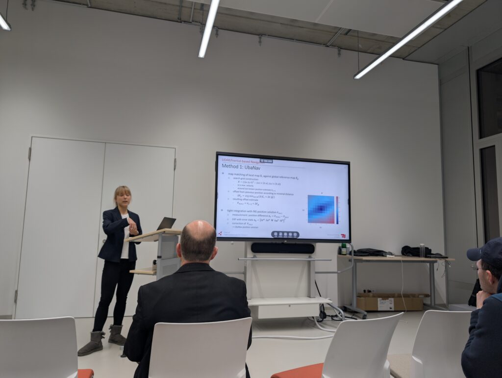
LIDAR/Inertial-based Navigation Methods for Autonomous Drone Operations in GNSS-denied Urban Environments

Over the last years, the number of applications for drones has grown significantly, driving interest in techniques to ensure safe operations, particularly in challenging environments like urban areas and with...
Read More
Anne-Sophie Polz

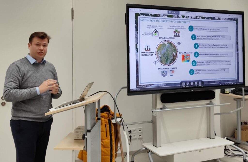
Smart Agriculture Technologies

Computer vision technologies are increasingly applied across diverse fields, from object detection to complex analytical systems. In agriculture, methods such as thermal and short-wave imagery enable the monitoring of plant...
Read More
Lukasz Rojek
19:00

Closing Discussion

Gallery