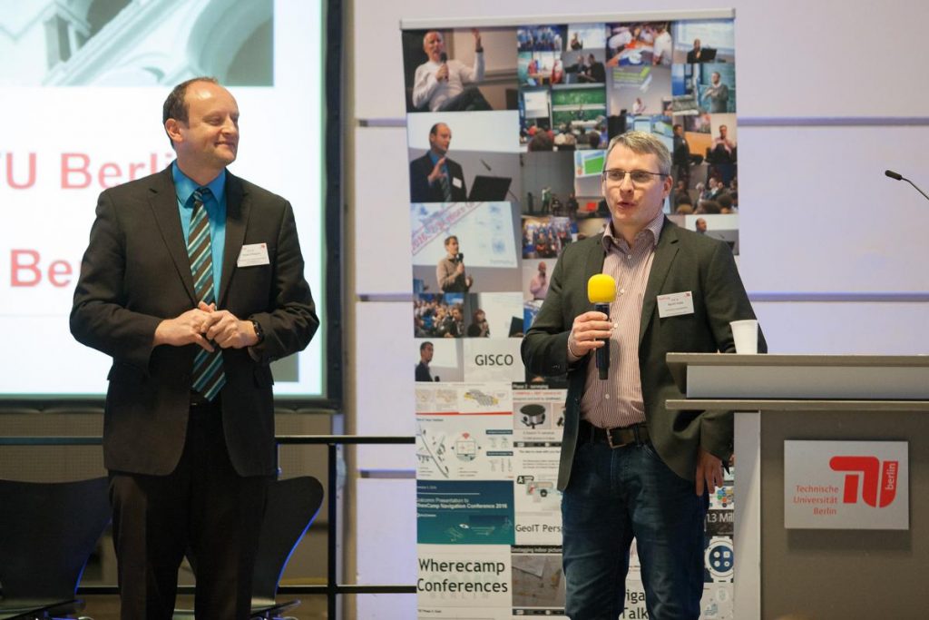
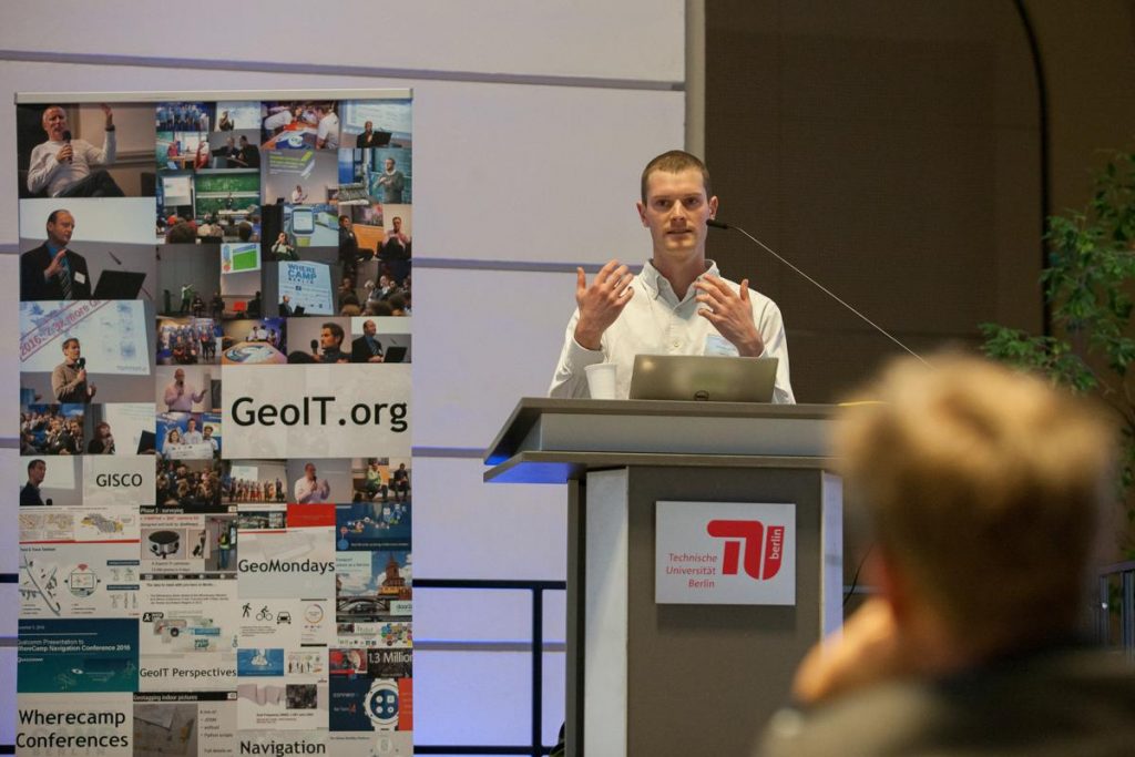
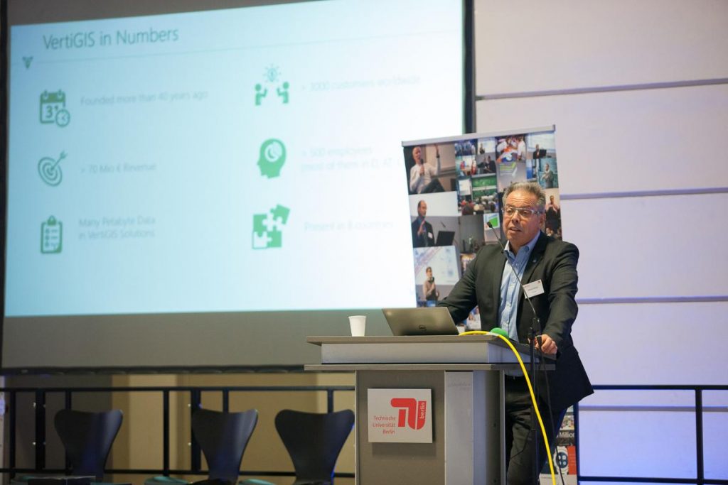
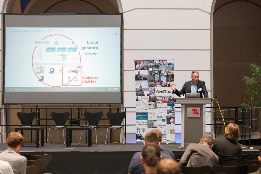
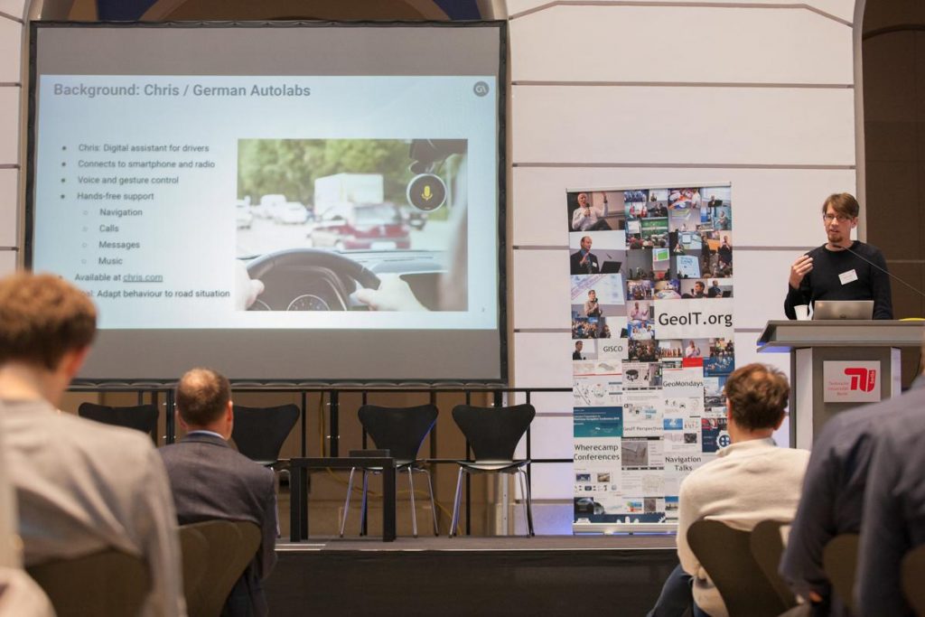
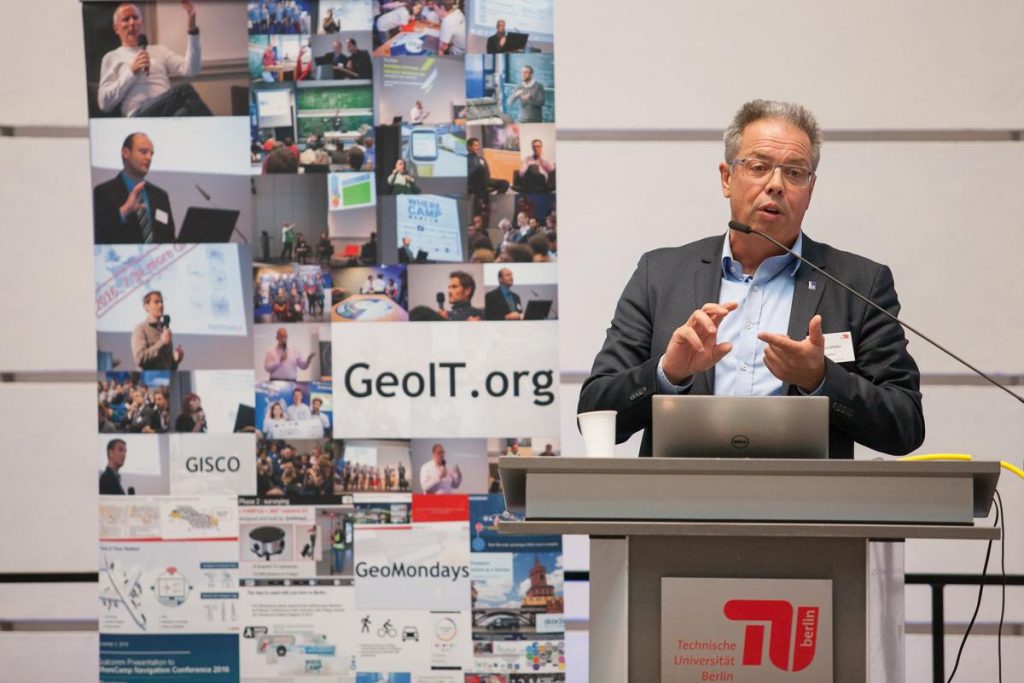
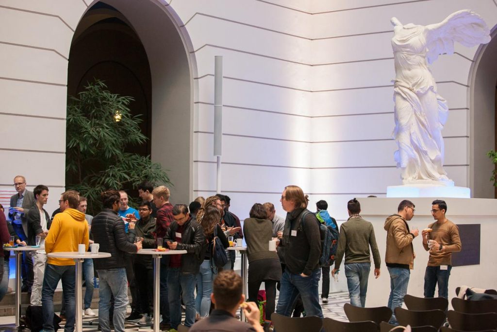
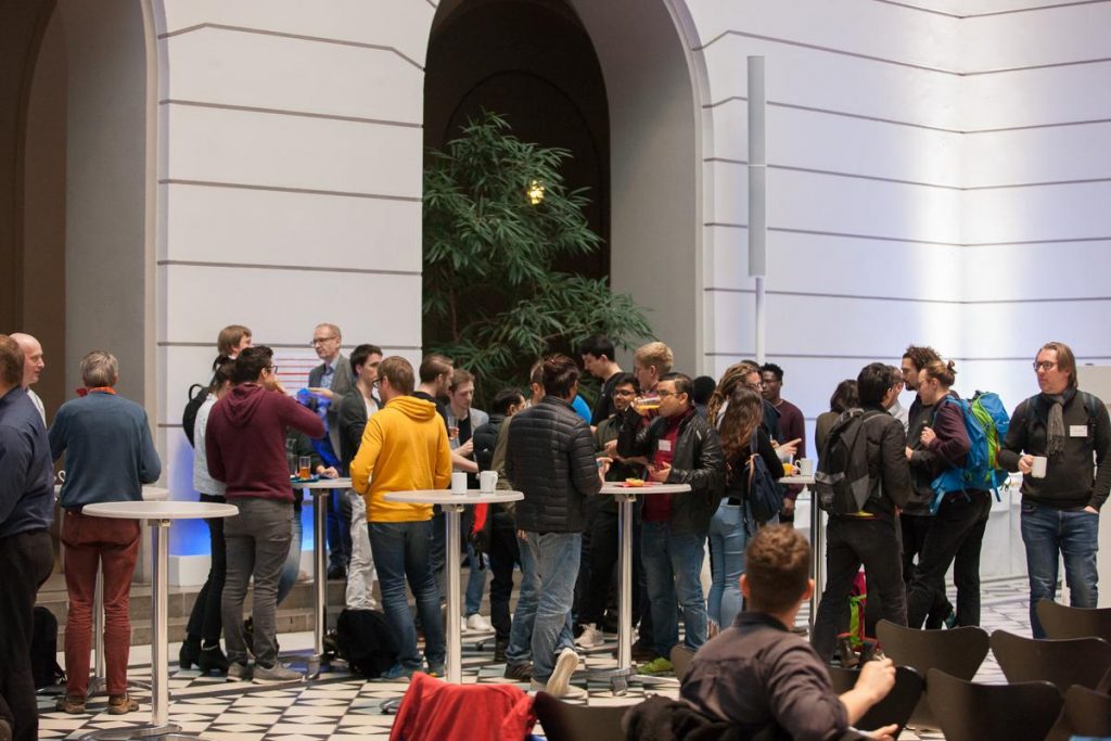
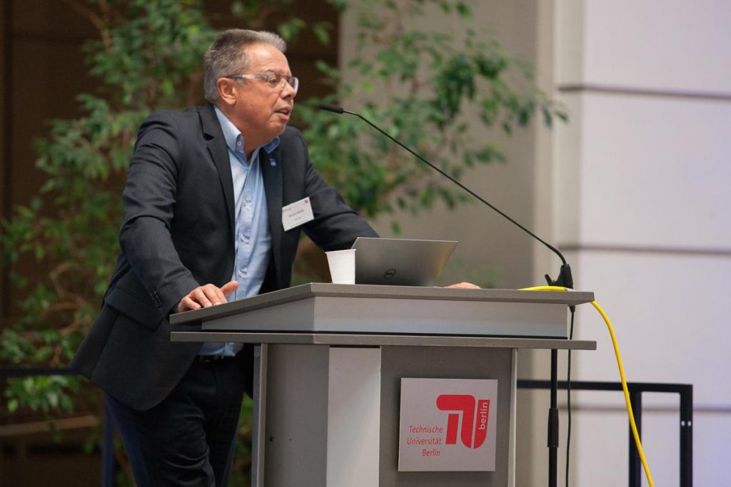
9th WhereCamp Conference
Invitation
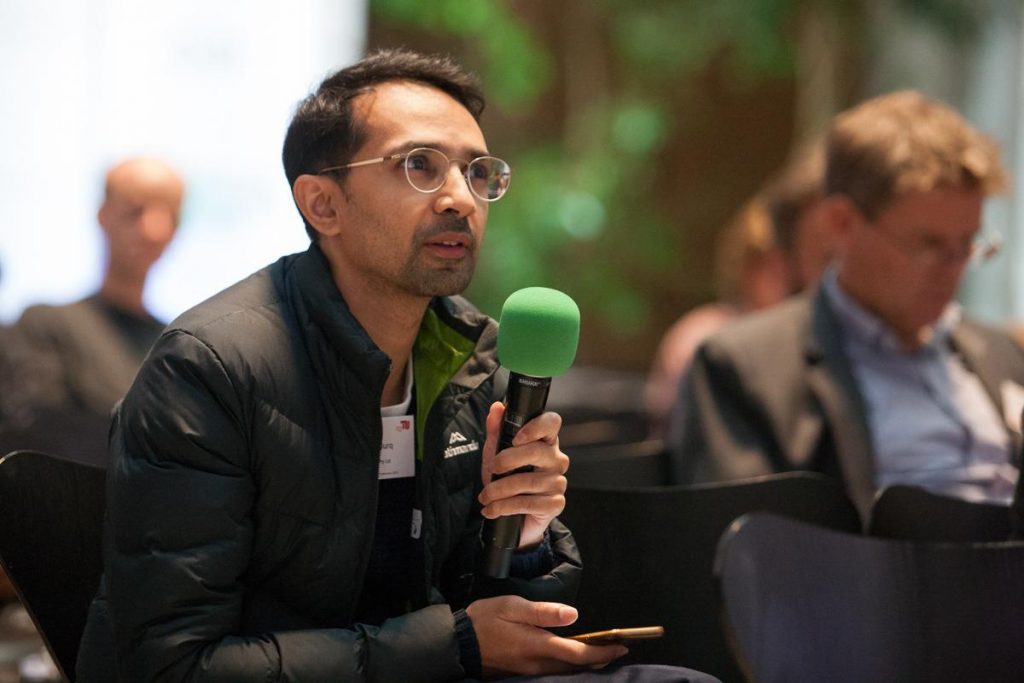
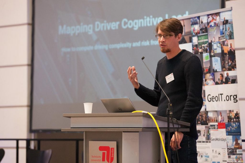
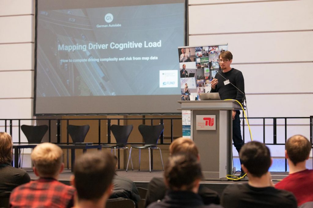
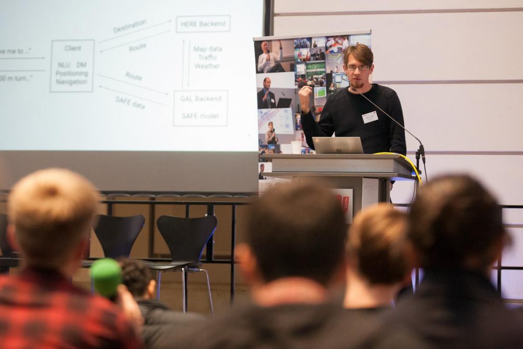
The GeoIT Wherecamp Conference is a premier conference focusing on the latest research insights around GeoIoT, GNSS, digital mapping, (autonomous) mobility and spatial intelligence of the GeoIT domain including industry and academic institutions.
This year we will once again be joined by industry leaders, subject matter experts and map enthusiasts who will share their vision and exchange ideas. Navigation with smartphones is often considered the key innovation of the enduring 21st century. Few could have predicted the rapid growth at which GeoIT Navigation with Web Maps and Location based Apps would gain traction and start changing the way humans navigate and interact with the world around them.
Similar to “Web 2.0 / Geoweb Infrastructures” in the year 2005, a “Mobile / Location Based Apps 2.0” (LBA) phase, benefiting from Android chipsets RAW GNSS raw data access for sub-meter level outdoor positioning using differential techniques (RTK, PPP, DGPS) and dual frequencies chips in the mass market is expected. A new “IoT / GeoIoT 1.0” age with AR is pushing the digital frontier forward in the indoors already. AR annotations can expand the (geospatial) interaction socially, e.g. leaving an AR-message for guests at the high-tech coffee machine. New main methods from the digital frontier after edit(), calculate(), publish(), transport(), integrate(), navigation(), sense() and habitize() with their derived applications and at the end also worldwide IT/GeoIT players are expected in the next seven years until 2025. Autonomous driving and flying are major long-term developments with the potential of a new Kondratiev-Cycle for 50 years.
In the years ahead, how will consumer expectations and business needs continue to evolve? What challenges will the GeoIT industry need to overcome? How will spatial data, algorithms, interactive maps and location sensors need to adapt? Which new hardware will be required? What is the “equivalent of TCP/IP” for the spatially supported material transport? In which way will indoor positioning sensors, IoT, autonomous cars and drones evolve?
To help answer many of these questions we are looking for speakers from following fields:
|
|
Venue:
- Technische Universität Berlin, Straße des 17. Juni 135, 10623 Berlin, Germany
Timeline:
- October 14th, 2019: Submission deadline for talks here
- November 14th, 2019: Conference
Speakers
Felix Delattre
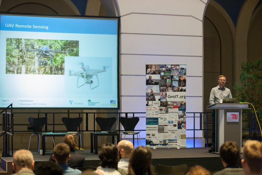
Technical Project ManagerStuart Krause
Researcher in UAV Remote SensingDr. Robert Schönduwe
Head of Digital Product at H2 MOBILITY Germany GmbH & Co. KGPeter Rose
Europe Director Orbica UGAlbrecht Michler
Chair of Transport Systems Information TechnologyOliver Strop
Strop Consulting und ProjektmanagementMarkus Gräser
Sr. Software Engineer at German AutolabsDamir Zambelli
Senior Software developer automotive positioning and navigation, NavigineSebastian Schuster
Senior UX Designer Indoor Positioning & Navigation Navvis GmbHMatthias Rosken
Senior Solution Manager Indoor Positioning & Navigation Navvis GmbHChris Stelzmüller
Founder at triply.atJoseph (Joe) Leigh
Director of Product Management at HERE TechnologiesShoaib Burq
Entrepreneur / Product (GeoAI, Software) / Board Director (HOT)Dr. Matthias Jöst
CEO Flowcate | Committee leader "omlox - the open locating standard"Jesse Hinrichsen
Civity Management ConsultantsMarkus Müller
Director Professional Services VertiGIS Europe, Prokurist und Mitglied der Geschäftsführung AED-SICADProf. Dr. Martin Kada
FGL Strukturprofessur, Prodekan "International." Fak. VI

